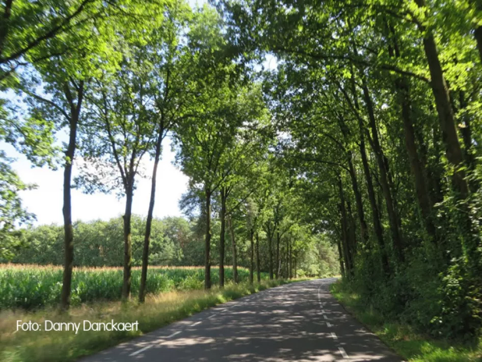
Underground: paved and unpaved roads. The route is signposted.
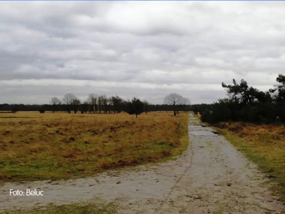
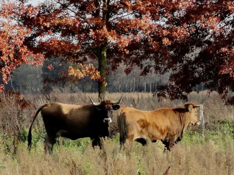
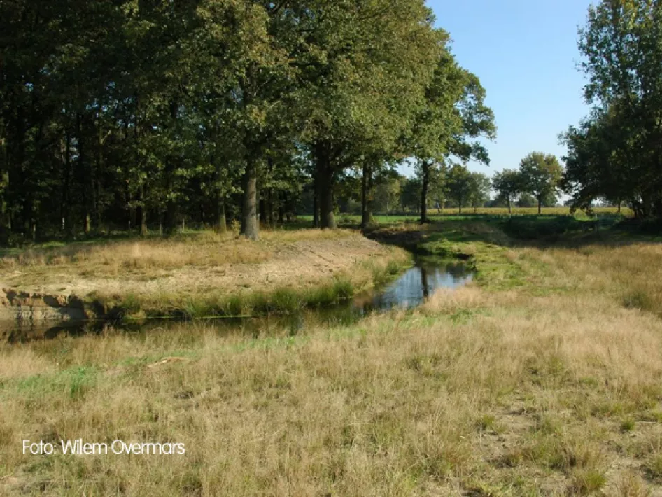
This route crosses an area around Weert where you won't see anyone for kilometres and leads through the nature reserves De Tungelerwallen and the Stamproysche heath.
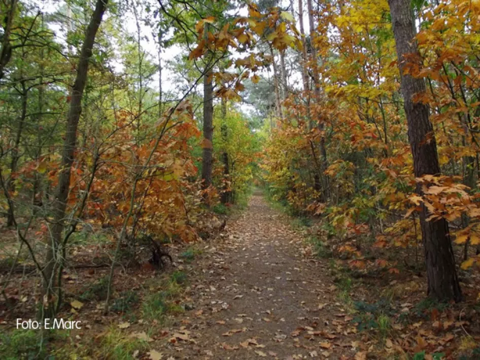
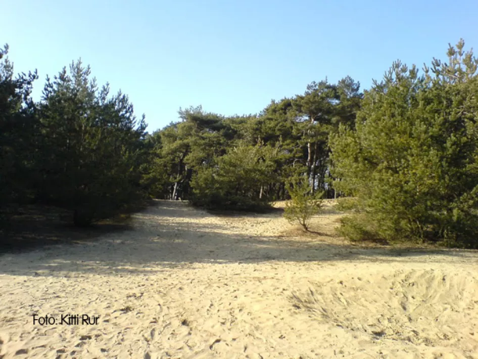
The route around Weert is a route with little difference in altitude but still very fun and varied. The route mostly follows existing, unpaved paths through woods and meadows. The subsoil consists of sandy or clayey forest soil. The sand is always the heaviest to cross. In dry conditions the sand is very loose, in wet conditions it sucks.
The southern loop contains two shortening routes. If you make use of these shortening routes, you will miss the most wooded part of the loop. The roughest path of the route is just across the border in Belgium. About one and a half kilometres are cycled here on a bumpy path and then over the asphalt in the direction of Stamproysche heath. The natural environment here is completely different. All in all, the variation of the surroundings makes the route very varied.
